Solar System Model Calculator
Step-by-Step tool instructions
Click “Next” above to see the step-by-step instructions.
Written Instructions
-
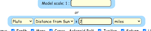
- Choose a scale by choosing: Pluto — Distance from the Sun — [the distance you want to walk] — miles
- Check the “map” checkbox and enter the latitude and longitude of where you would like to start. I use https://www.latlong.net/ to find latitude and longitude based on an address.
- Click Calculate, and scroll back down to the map.
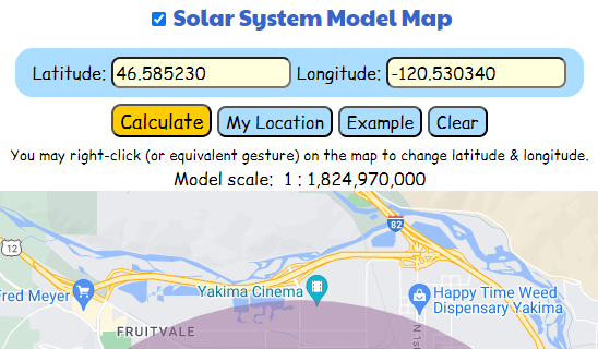
- Take that map on a walk with you!
- As you get to the place where each planet would be, look up how big that planet would be at that location.
- Take a picture at every planet (including Ceres and Pluto)
- You may also write on a map to annotate your walk, but you must include photos.
- Upload the images and annotated map of your walk here.
- Choose a scale by choosing: Pluto — Distance from the Sun — [the distance you want to walk] — miles
Video Instructions
Captions are updated.
Media Attributions
- Scale of Walk
- Map with lat long